


6,1 km | 6,8 km-effort


Benutzer


Kostenlosegpshiking-Anwendung
 SityTrail
IGN / Geografische Institute
SityTrail World
Die Welt öffnet sich für Sie
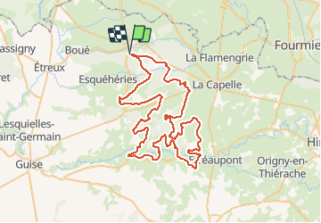
Tour Mountainbike von 76 km verfügbar auf Nordfrankreich, Aisne, Le Nouvion-en-Thiérache. Diese Tour wird von tracegps vorgeschlagen.
Boucle dans les vallées de la Thiérache, quelques bosses à passer, de nombreux passages en forêt, pas de technique, pas de grosse difficulté.
Wandern

Mountainbike
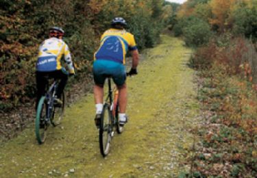
Mountainbike

Hybrid-Bike
Wandern
Mountainbike

Wandern
Wandern
Wandern